Skip to content
NEURA PARSE

Primary product / NODERIQ

NODERIQ mission
intelligence.

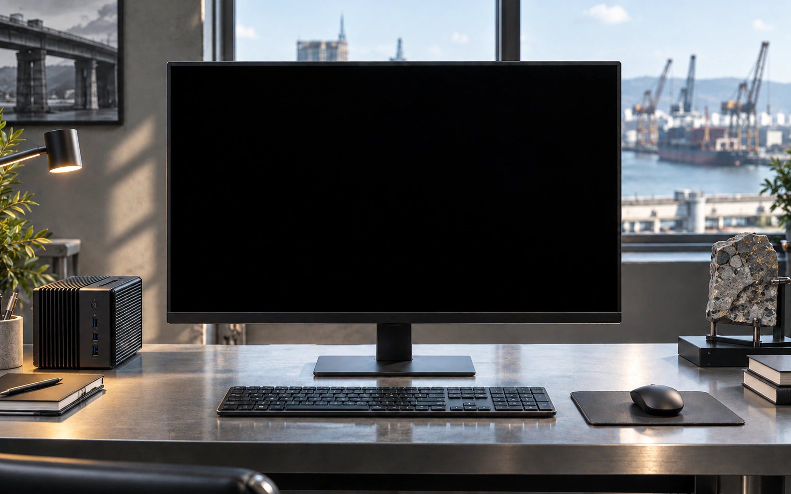
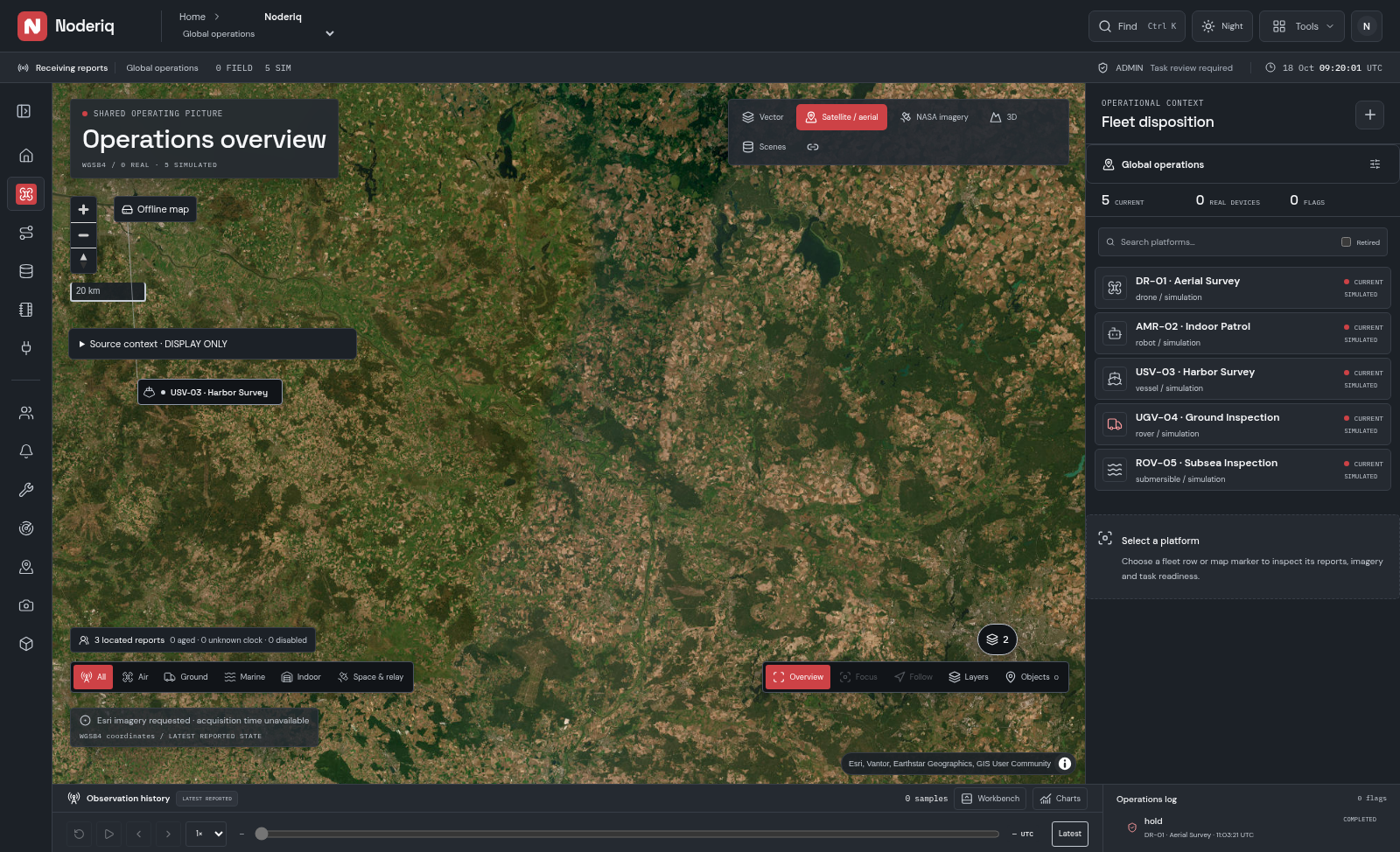
Concept operations workstation · actual Noderiq UI with SIM data

NODERIQ connects observations, AI workflows, device roles and decisions in one mission context. Rehearse city and airport scenarios with our AERA and MIRA design models, then review the evidence before defining a physical integration.

Mission intelligence · fleet and device simulation · scoped integration

Mission intelligence / Product & R&D briefOne mission. Many machines.The NODERIQ mission-intelligence product and NODERIQ-RCN, its separate collaborative R&D initiative.Read briefClose brief

Mission intelligence for autonomous systems

01 / 05

One mission. Many machines.

NODERIQ is Neura Parse’s mission-intelligence product, ready for integration into real operational workflows. It connects shared context, coordinated work and human judgement around the capabilities a mission needs, across different autonomous systems.
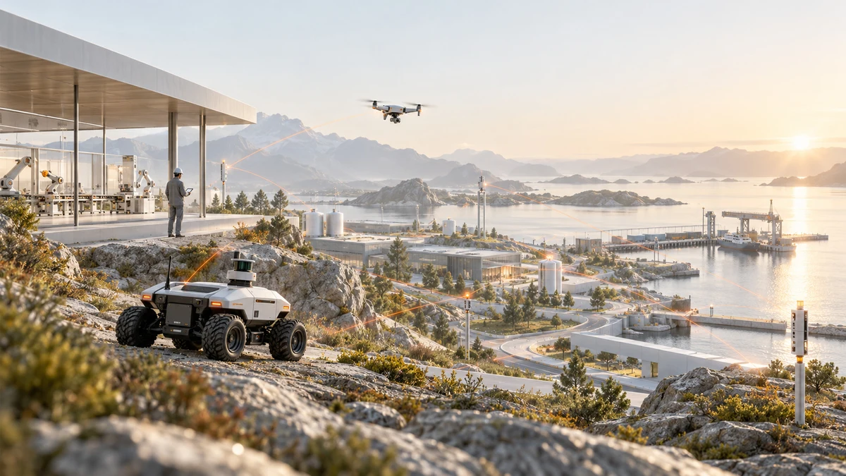
Concept illustration · land, air and water in a shared mission setting

Intelligence that sees the whole mission

Every machine sees part of the world. Every team brings a different capability. The opportunity is to connect those perspectives into purposeful action: shared context, coordinated work and decisions people can understand.

From infrastructure and industry to remote environments, NODERIQ helps teams organise around a shared mission. Alongside the product, NODERIQ-RCN is our separate collaborative R&D initiative, extending this direction through international expertise and new applications.

The world around the mission

02 / 05

A world that keeps changing

Autonomous systems are moving into places where conditions never stand still. Information arrives unevenly. Priorities shift. Machines share routes, resources and attention with people. A useful mission must respond to that whole picture.

Concept illustration · people bringing different perspectives to a mission

The opportunity is collective

A drone may reveal what a ground robot cannot see. A fixed sensor can add context. A workcell or specialist platform can carry the next task forward. NODERIQ’s role is to connect these strengths while preserving each platform’s expertise and local control.

NODERIQ brings network awareness into mission decisions, considering latency, degraded links and available computing resources. Essential decisions stay close to the action. People remain responsible for consequential choices, while local controllers retain their independent safety role.

The Neura Parse connection

03 / 05

Different intelligence. One direction.

Sensors reveal only part of a changing world. Models help interpret it. Networks carry context. Agents organise work. NODERIQ connects these layers around a shared mission, so the right capabilities can contribute with coordination and human oversight.
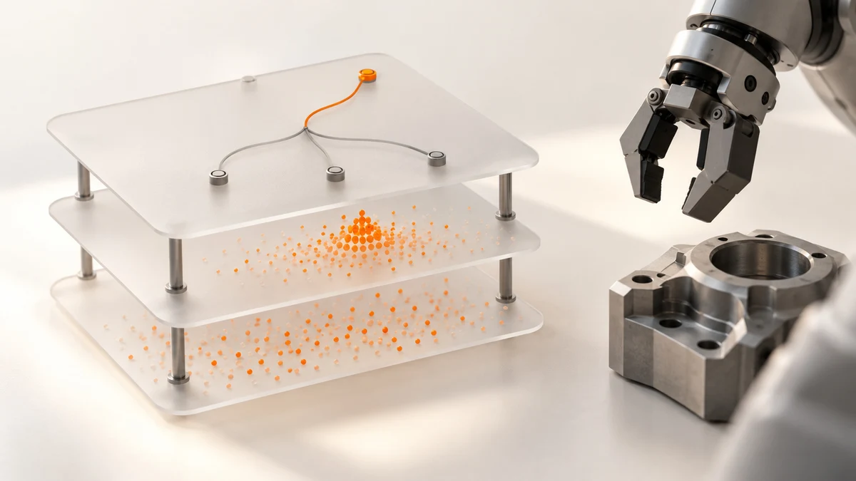
Concept illustration · sensing, computation and physical work

NODERIQ is the product at the centre of this mission view. NowFlow brings agents, tools and people into governed workflows. The NeuraOS software reference supplies an edge foundation, connecting approved intent with execution records and traceable outcomes.

QANTIS quantum experiments on IBM Heron and QFlow’s experimentation tools add a complementary R&D horizon. They explore new approaches to decisions under uncertainty. NODERIQ’s product operation remains classical; quantum work informs future possibilities rather than being a runtime requirement.

Product capability and exploratory work share a common purpose, with a clear boundary between what is available and what is being investigated.

NODERIQ-RCN / Collaborative R&D

04 / 05

Extending the horizon through collaboration

NODERIQ-RCN is the collaborative R&D initiative alongside the NODERIQ product. We are developing an international consortium with robotics, university and communications teams across the UK, Türkiye and France, while exploring CELTIC and Horizon Europe funding routes.
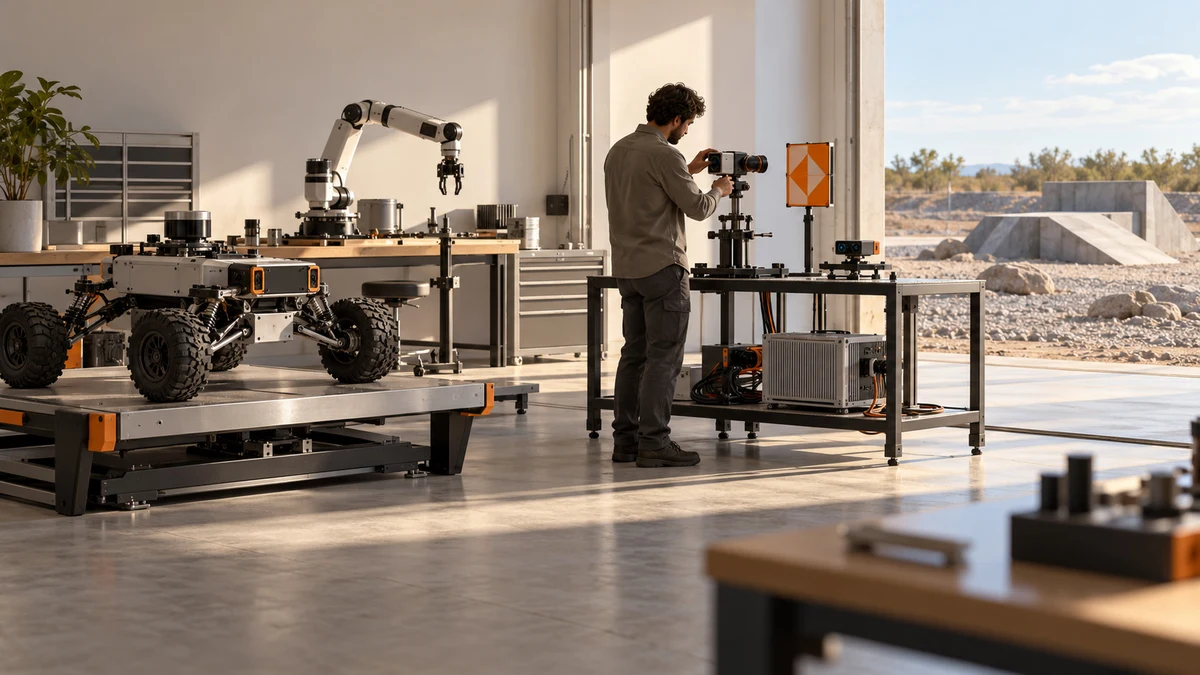
Concept illustration · an engineering workbench for distinct platform roles

Engineering the next operating frontier

Putting intelligence into the physical world takes more than connecting software. Sensors, communications, models and hardware have to be understood together. Timing, operating conditions and human behaviour can change what is possible.

RCN builds on the ready NODERIQ product to investigate broader applications, platform-specific integration and physical validation. Complementary expertise will help shape the experimental programme, test demanding conditions and develop new capabilities with evidence from the environments they are intended to serve.

An open invitation

05 / 05

What comes next starts with a mission

NODERIQ gives builders and operators a product foundation for shared mission intelligence. The opportunity spans infrastructure, industrial coordination and remote operations where fragmented context or difficult conditions make collective action harder.

Concept illustration · a possible future infrastructure setting

For product engagement, begin with your operational goal and the systems already in place. For NODERIQ-RCN collaboration, bring a challenge that benefits from shared investigation, specialist expertise or validation across new environments.

Choose the conversation that fits

Whether you want to use NODERIQ or help shape NODERIQ-RCN, bring your part of the picture: a platform, a constraint or a new perspective. We can identify the right product path or define a focused collaborative application.

A focused starting point

Discuss NODERIQ product integration or a focused NODERIQ-RCN research collaboration.

Discuss a mission
13 October 2026 5 pages PDF, 2.9 MB

01 / Inside NODERIQ

Intelligence.
Workflow.
Edge execution.

NODERIQ is the primary mission-intelligence platform direction. Shared context, task coordination and evidence connect the workflow and edge responsibilities.

Integration is scoped to the application. The existing layer records describe their current software evidence, access and physical acceptance boundaries.

NODERIQ / Governed workflow layer

NowFlow

Compose scoped agents, approved tools and human decisions. Follow the work through checkpoints, exceptions and reviewable outcomes.

Available workflow surface. Interfaces, permissions and operating scope are agreed for the target environment.

Explore the NowFlow layer

NODERIQ / Edge execution foundation

NeuraOS

Connect mission tasks to capable devices, approved commands and typed completion evidence. Local controllers retain their independent safety role.

Host reference and NowFlow SDK handoffs verified offline. Physical devices require target qualification and operational approval.

Explore the NeuraOS layer
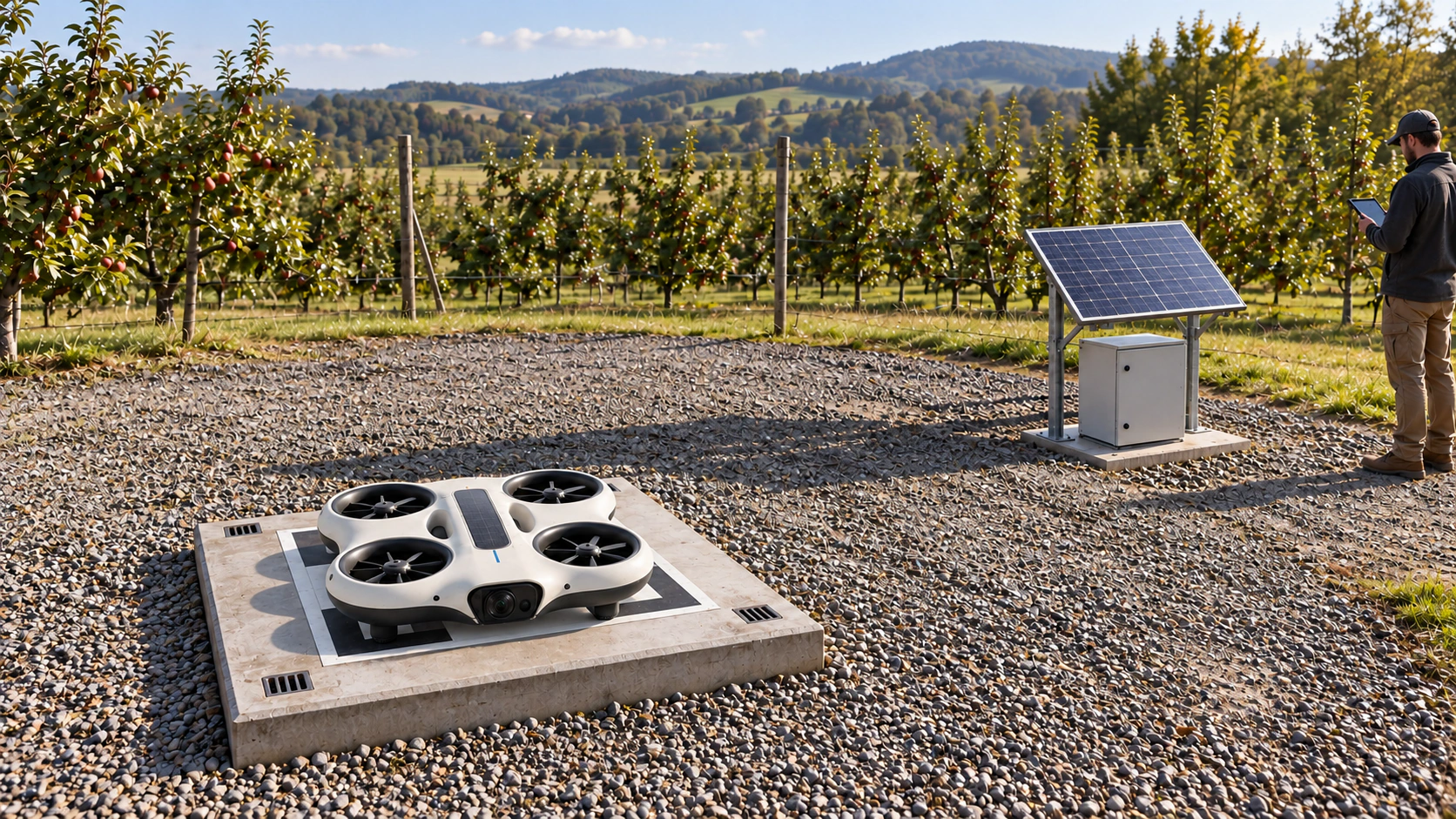
MIRA on a low return tray with foot-contact seats and a separate solar panel outside the approach area
Application design

NODERIQ hardware / in testing

Observation has a physical side.

Meet AERA, our solar-assisted lighter-than-air platform, and MIRA, our mini drone system with designated solar parking points. We are developing and testing both for mapping, regular area observation and NODERIQ mission data.

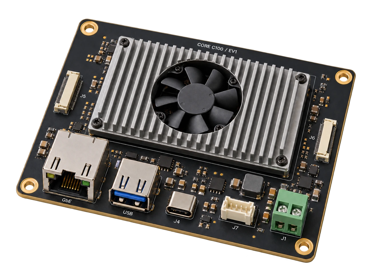
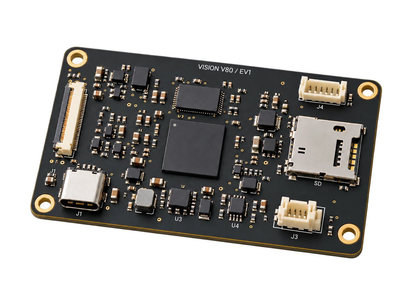
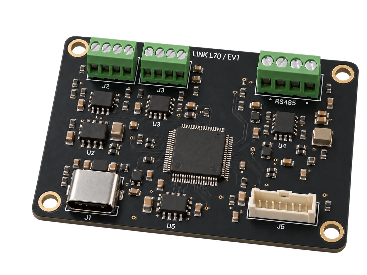
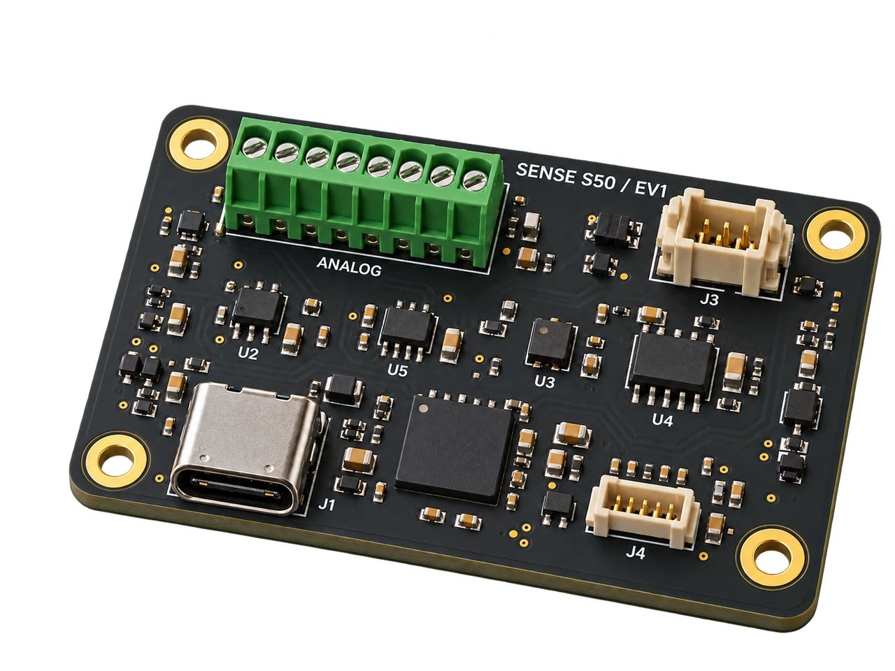
Hardware cards for compute, vision and sensing

Explore the separate EV1 board family with defined dimensions, integration plans and bench evaluation records.

02 / Mission workflow

The next action needs context.

A delayed link, an uncertain observation or an unavailable device changes the mission. Keep the task, source, platform readiness and decision authority in the same working context.

  1. 01

    Scope the mission

    Name the operating area, capable platforms, accountable reviewer and evidence that would close the task.

  2. 02

    Compose the workflow

    Use the NowFlow layer to connect observations, scoped agents, approved tools and named human decisions. Keep delayed or conflicting context visible.

  3. 03

    Review edge execution

    Use the NeuraOS foundation to check a capable device, command authority and readiness before the handoff. Device-local control and safety retain authority.

  4. 04

    Return to the record

    Follow the result back to its source and decision. Reconcile uncertain state before the next assignment.

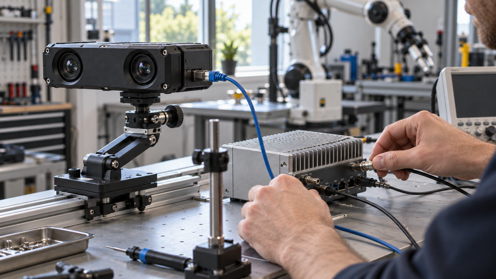
AI concept study of a stereo camera and edge computer on an engineering bench
AI concept study · sensor-to-edge timing evaluation

Sensor systems and network intelligence

Evidence has an age. Authority has a scope.

Measure the full observation-to-action path. Account for stale sensor context, uncertain command receipt and shared-resource ownership before recommending the next task. Our evaluation approach keeps timing, human approval and outcome evidence distinct.

Explore network intelligence

03 / Product interface

Read the operation.
Follow the evidence.

Explore published NODERIQ city and airport simulations, our device studies and the Core C100 design reference. Select a record, inspect the full image and keep simulated activity distinct from source geography.

Evidence views08 records

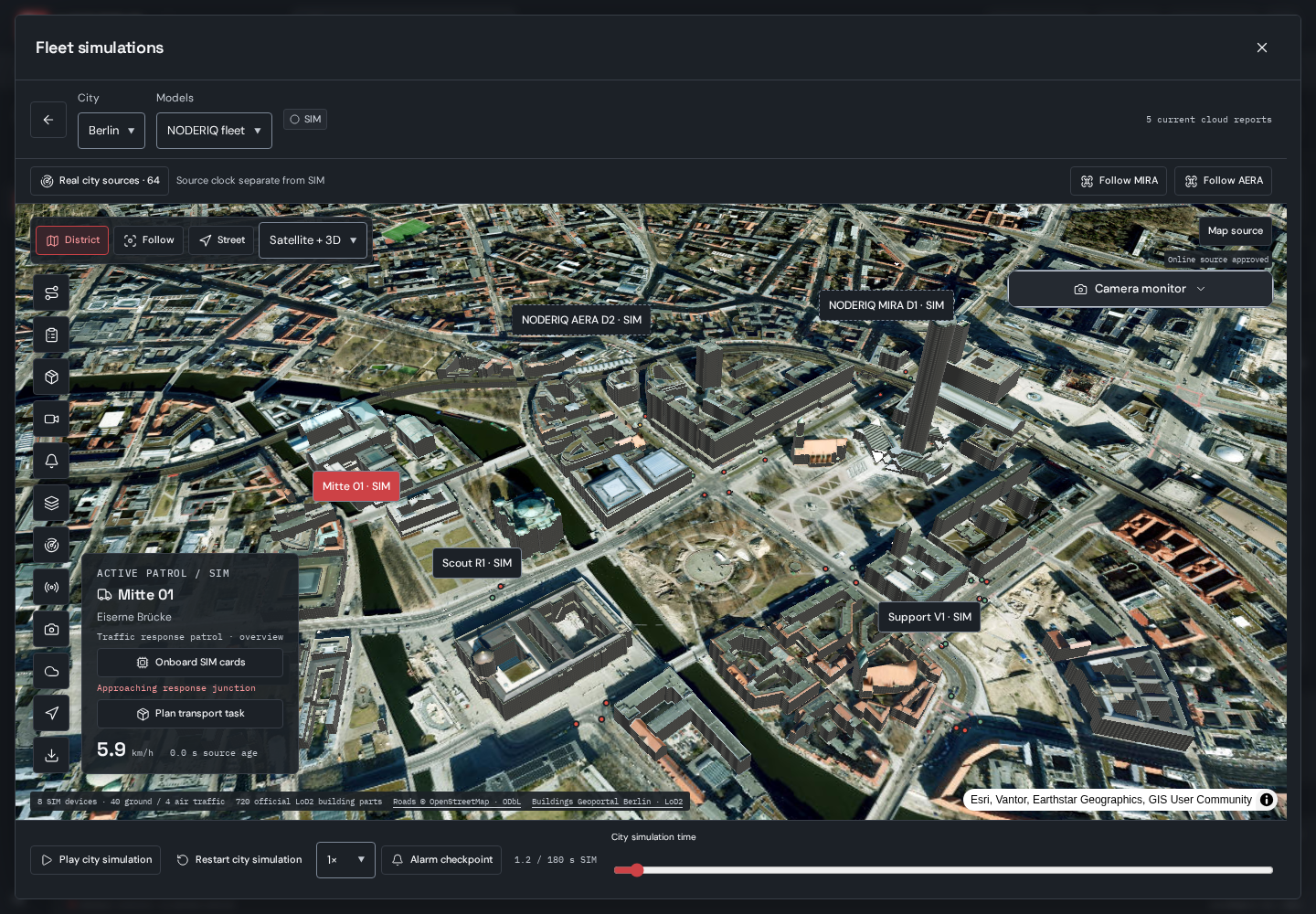
Published NODERIQ Fleet simulation over Berlin imagery and 3D buildings, with MIRA, AERA and ground-vehicle SIM identities

NODERIQ Fleet · Berlin district · source-backed geography and SIM fleet · 29 October 2026

NODERIQ Fleet · Berlin district · source-backed geography and SIM fleet · 29 October 2026

Published SIM workspace

One mission context across a real district.

The published Fleet simulation places NODERIQ MIRA and AERA design identities alongside ground vehicles on source-backed Berlin roads and buildings. Missions, selection and source context share one map; moving devices and their telemetry are simulated.

Record 01 / 08

04 / Customer demo

Choose a device. Explore a mission.

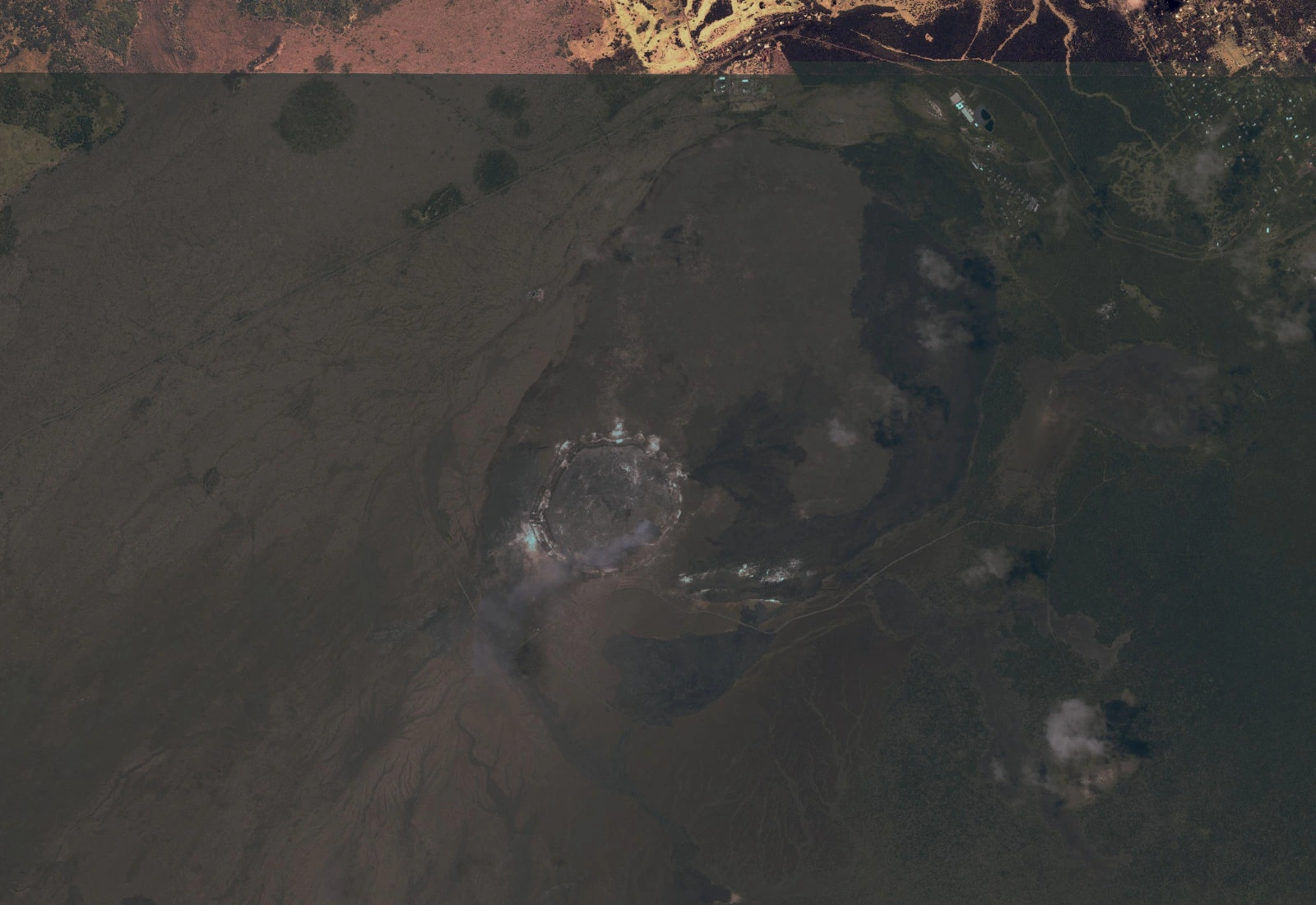
Choose a survey drone, field rover or observation camera. Explore the real USGS map and start a short demo with recorded public footage. Device roles and routes are simulated; the recording remains an independent reference.

Open the full customer demo
Noderiq
Customer demoLandscape observation

PUBLIC LANDSCAPE / DEMO ROUTE

Kīlauea, Hawaiʻi

Real map. Simulated devices.
Layers
  • BasemapAerial
100%
Drag to explore · + / − to zoomMap: USGS / The National Map ↗
Survey droneArea overview
Demo playback

Simulated devices on a real map. Public recorded footage. No physical commands.

Open full demo ↗

Choose a device, then start the demo.

About this demo

The devices and routes are simulated. This preview does not connect to a private fleet, customer camera or operator account.

Real landscape map

Map services and data available from U.S. Geological Survey, National Geospatial Program.

Archive imagery and camera recordings come from different dates. They are not a synchronized operational record.

USGS / The National Map ↗

Real camera recording

USGS Hawaiian Volcano Observatory · published 22 June 2025. This is a public-domain timelapse of Kīlauea, presented as a recorded reference.

The public recording is independent of the simulated device roles. Its inclusion does not imply a USGS integration or partnership.

View the original camera recording ↗

Private information

Only public media and fictional demo devices are included. No customer data, credentials, internal addresses or live device connections are used.

Public map data and usage terms ↗

Fleet simulation / Our devices

From a board design to a shared mission.

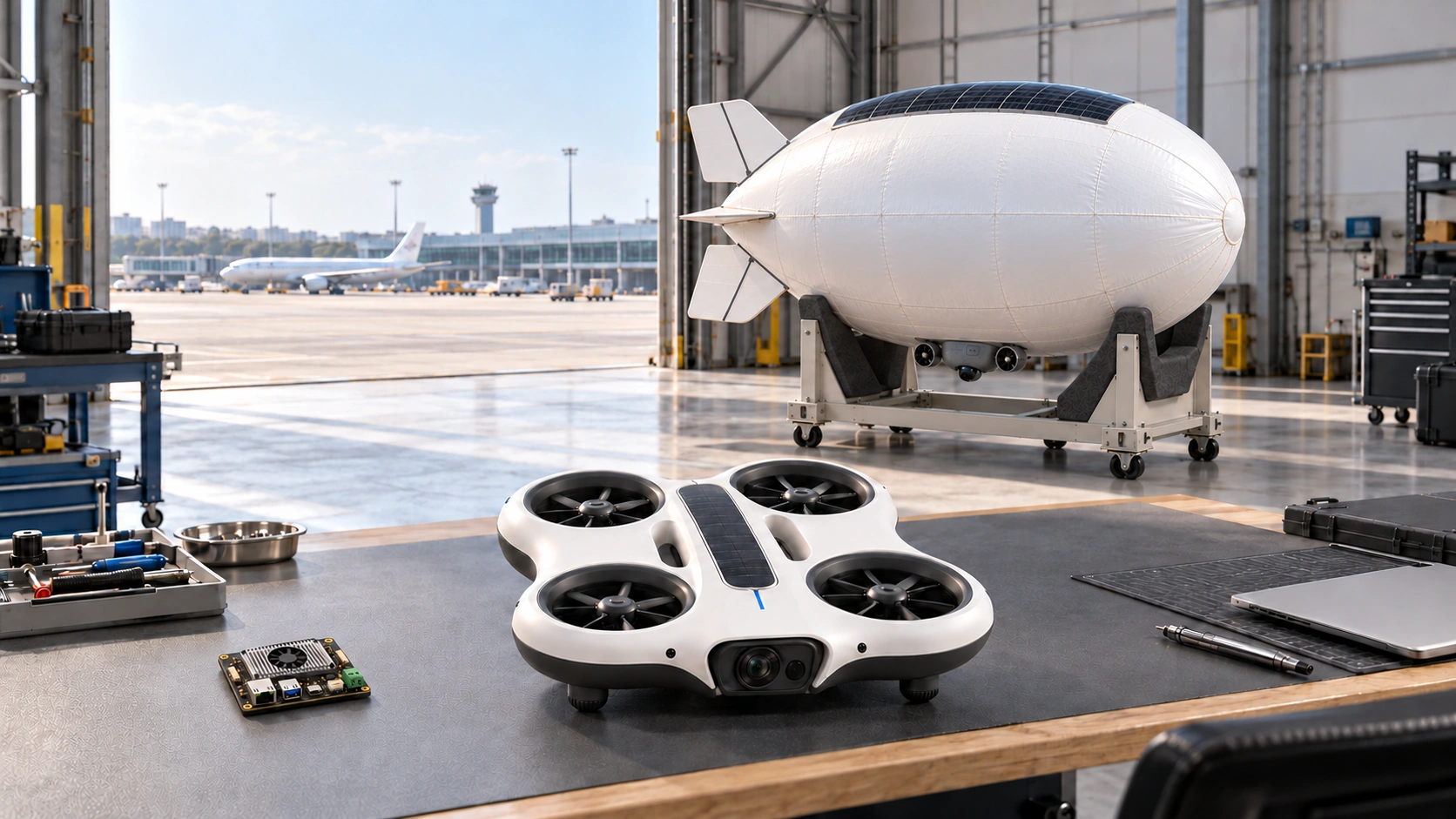
NODERIQ brings our observation-device designs, hardware-card roles and coordinated SIM tasks into one mission-intelligence workspace. Inspect the model, rehearse the task and review the context together.

AI design illustration of a palm-sized Core C100 board and MIRA resting on a workbench, with AERA supported in a ground cradle and a distant airport

AI design study · workshop scene guided by published device dimensions; imagined airport setting.

AI design study · workshop scene guided by published device dimensions; imagined airport setting.
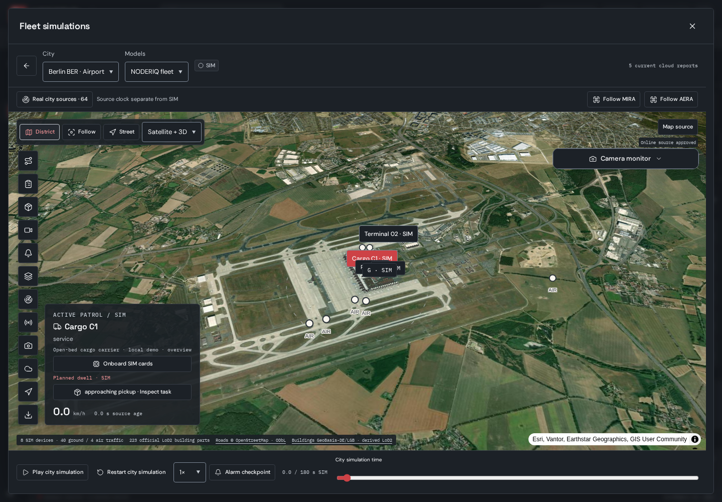
Published NODERIQ Berlin BER airport simulation showing source imagery, simulated cargo and air-platform markers, and playback controls

NODERIQ Fleet · Berlin BER airport scenario · SIM · 29 October 2026

NODERIQ Fleet · Berlin BER airport scenario · SIM · 29 October 2026

Choose Istanbul, Berlin, Oslo, Berlin BER or Oslo airport. Real source geography provides context while authored traffic, patrols and transport tasks run in an isolated simulation. Follow a platform, inspect a task or return to the district view.

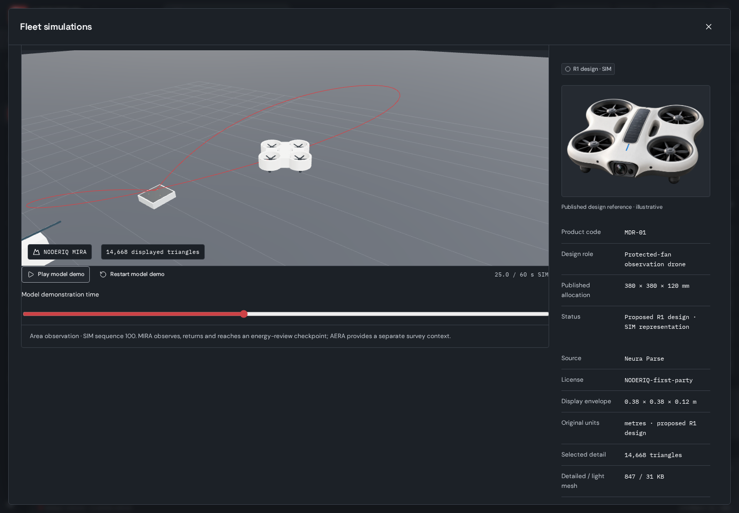
NODERIQ Device Studio replay with the MIRA design model, observation-and-return route and published design reference

NODERIQ Device Studio · MIRA observation-and-return study · SIM · 29 October 2026

NODERIQ Device Studio · MIRA observation-and-return study · SIM · 29 October 2026

Inspect our three-dimensional device models and the published design reference side by side. Rehearse MIRA’s observation and return sequence, explore AERA’s survey role and examine the return-point study before defining a physical integration.

Four EV1 card studies

The same named card family appears in Device Studio and illustrative onboard SIM roles. Explore each board’s public allocation and evaluation record; the software fit is an assumption to examine, not a qualified electrical or airframe integration.

The current evidence is a working software simulation and design-model workflow. Electrical circuit behaviour, flight physics, docking, charging and hardware compatibility need their own engineering tests. An airport scenario does not establish an airport deployment or operating approval.

The product application requires sign-in. Fleet → Ready simulations opens the city workspace; the separate Device Studio link opens model inspection.

Map and building-source attribution remains inside the original captures. © OpenStreetMap contributors · ODbL

06 / Current scope

Build around the operating boundary.

Product
NODERIQ is one of our two primary products and the platform direction for mission intelligence, with NowFlow workflow and NeuraOS edge layers. Classical product integration and ongoing refinements retain explicit scope.
Integration
Platform interfaces, operating conditions, local-controller boundaries and physical acceptance are defined for each application. Availability does not establish universal compatibility or a field deployment.
Website preview
The customer demo combines simulated devices and routes with real USGS map imagery and public recorded camera footage. All controls run in the browser. Private fleets, live cameras, operator accounts and physical commands are not connected.
Research
NODERIQ-RCN is a separate collaborative R&D initiative. Consortium development continues; physical validation and complementary hybrid research require their own evidence.

07 / NODERIQ-RCN

Research for the difficult handoffs.

The RCN initiative targets important problems: systems losing a shared picture, heterogeneous devices handing off work and evidence becoming fragmented when links degrade.

International consortium development is ongoing, bringing together complementary robotics, university and communications expertise. The aim is broader applications, platform-specific integration and physical validation. CELTIC and Horizon Europe routes are being explored; awarded funding and a confirmed consortium are not established by the current brief.

Follow NODERIQ-RCN research

Discuss product integration

Bring the mission.
Define the handoff.

Start with one operating workflow, its platforms, network conditions and accountable decision owner. Define the integration scope and the evidence required for acceptance.

Discuss NODERIQ